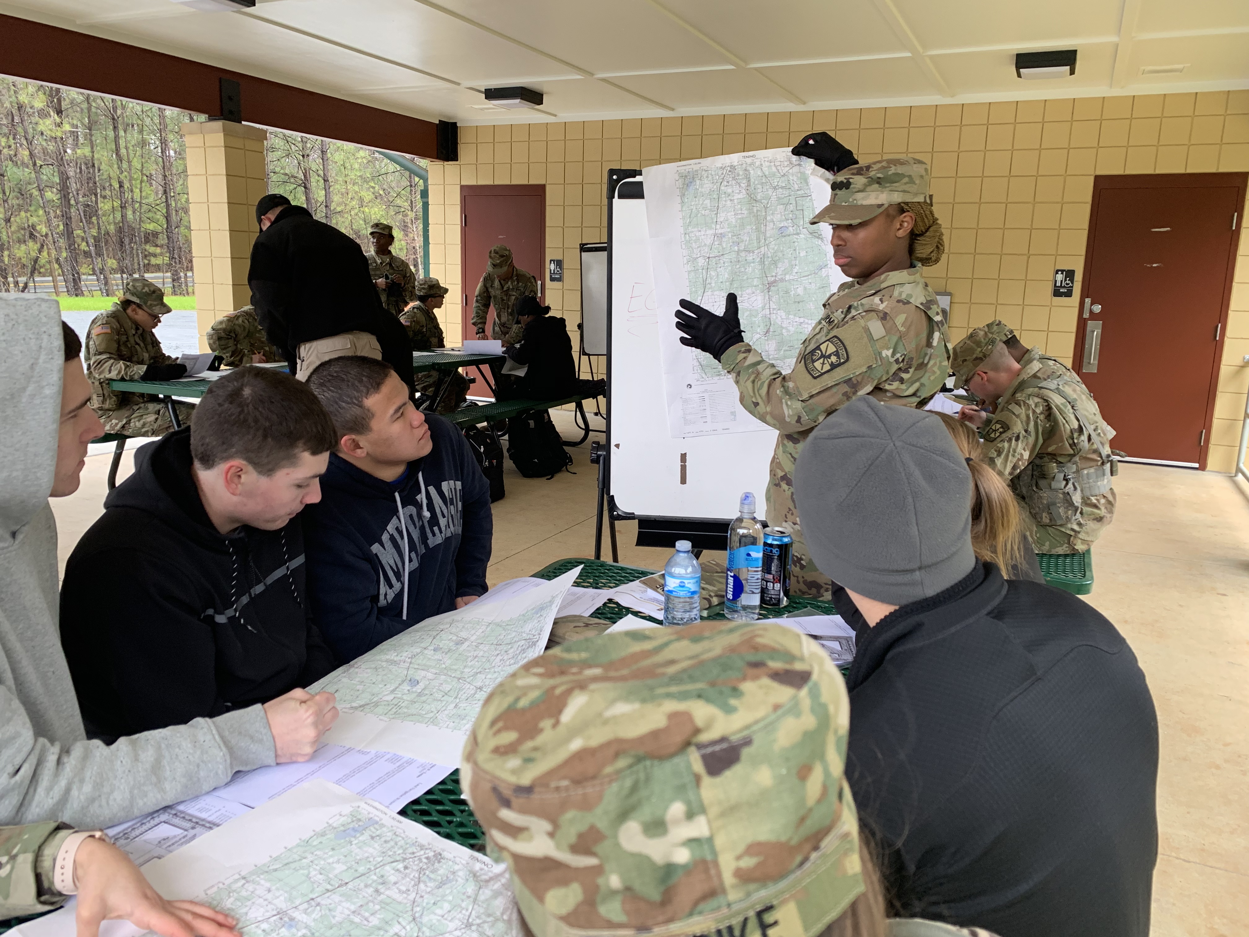
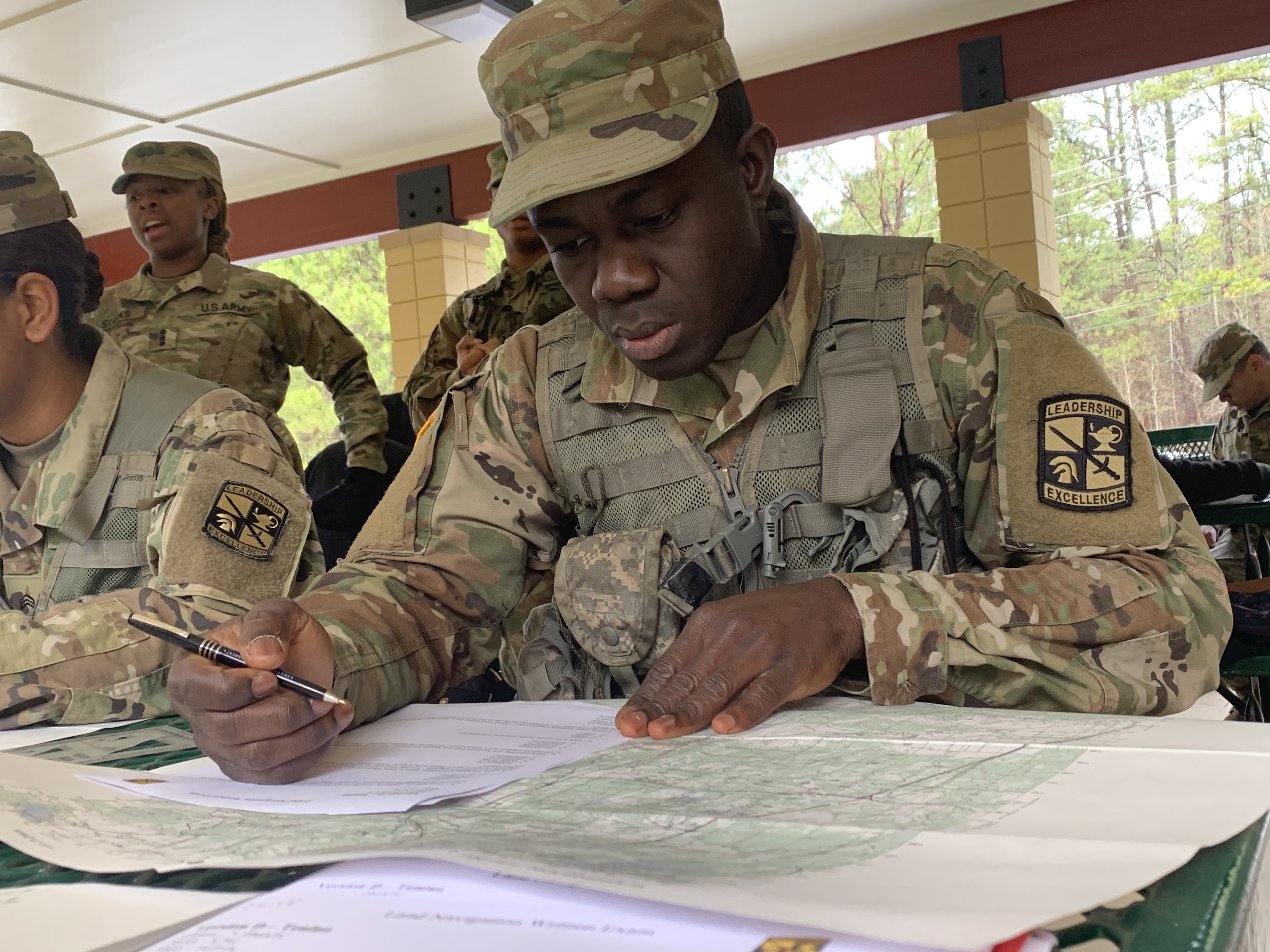
Cadets from Georgia Institute of Technology conduct classes over land navigation, Acworth, Ga. (Thursday, January 24, 2019). Students from Kennesaw State University learn the basics for finding an assigned point throughout heavy vegetation. (Photo/Gia Cruz)Cadet Richardson Bioh starts to plot coordinates on a Tenino map, Acworth, Ga (Thursday, January 24, 2019). Cadets are given an 8 digit coordinate to practice with to measure how well the subject is taught. (Photo/Gia Cruz)Cadets receive a series of grid coordinates which allows them to start a route to plan, Acworth, GA. (Thursday, January 24,2019). After receiving coordinates, students are expected to plot their five coordinates, utilize their compasses, use tactics and write down codes once they arrive at their points, which will all be conducted in a 1 hour time span. (Photo/Gia Cruz)
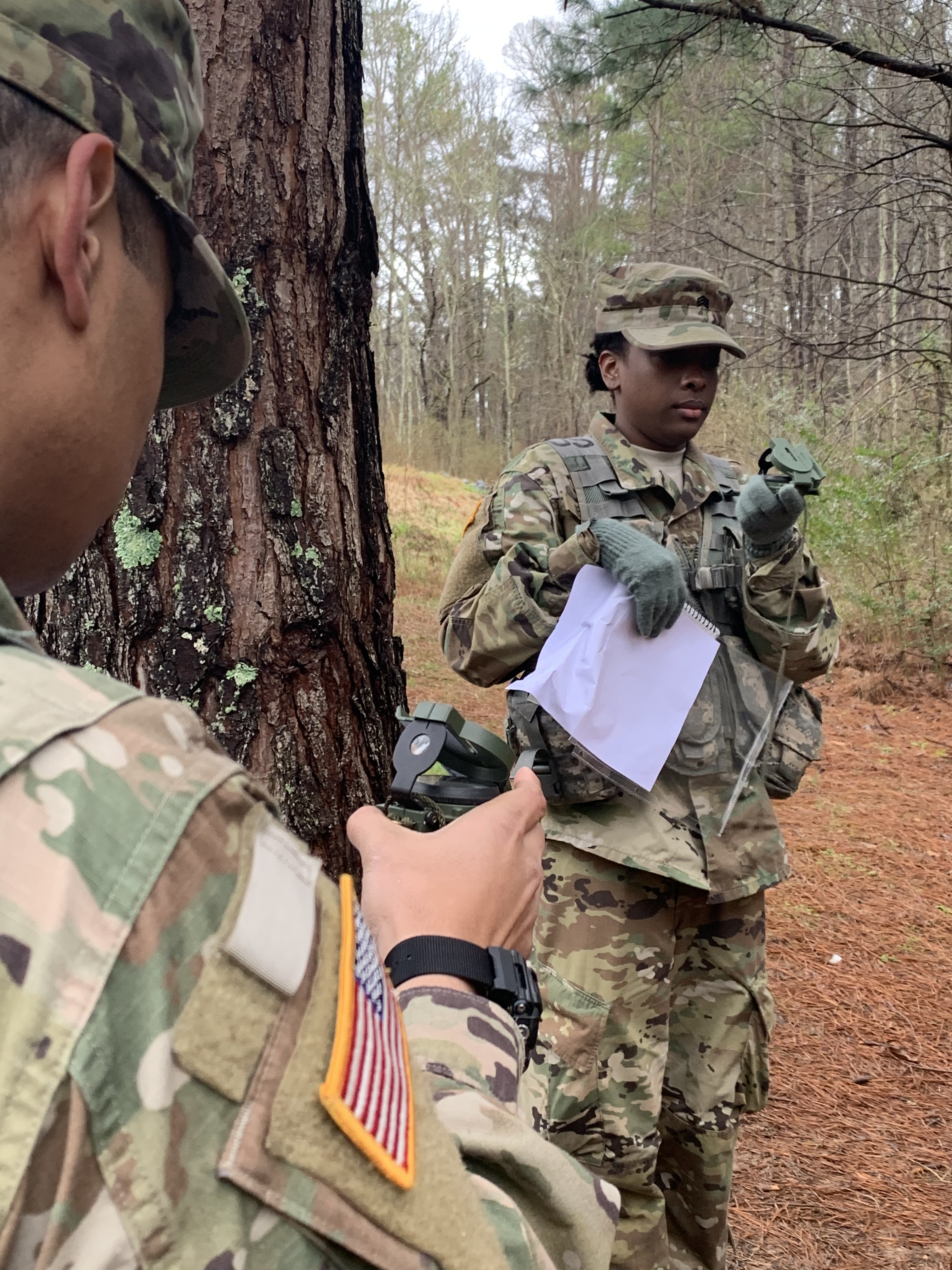
Cadets Phillip Hurt and Aneesa Hedrington use a compass to find the direction that will lead them to their points, Acworth, Ga. (Thursday, January 24,2019). By using degrees, angles, and an azimuth, students attain a general location of where their mission is set to start. (Photo/Gia Cruz)
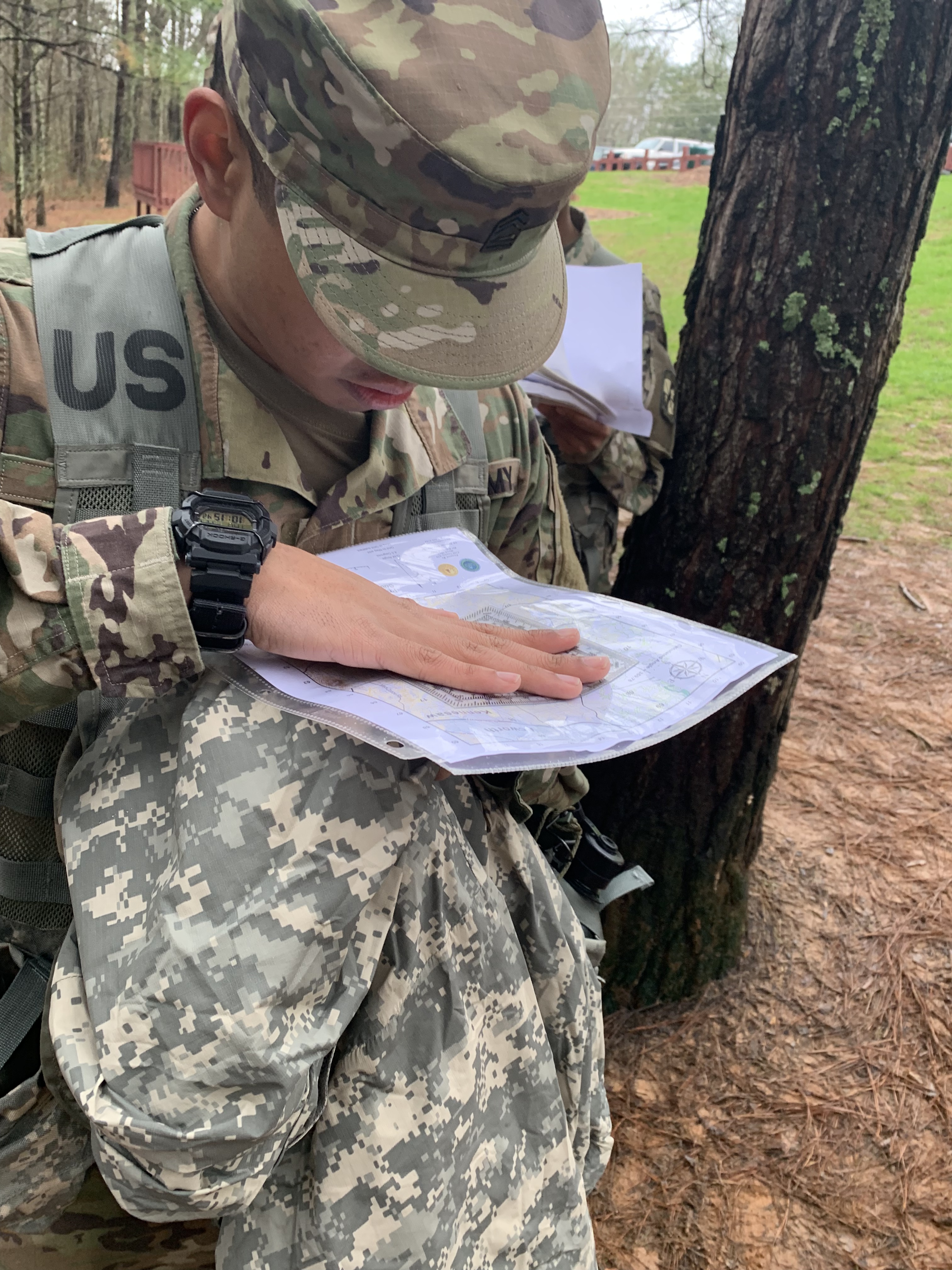
Cadet Phillip Hurt measures distance from the starting point to his next point in meters with a protractor, Acworth, Ga. (Thursday, January 24, 2019). By measuring the distance is between points, students know how many steps to take to their next known location. (Photo/Gia Cruz)
Land navigation coordinates are displayed on standard paper with follow on procedures, Acworth, Ga. (Thursday, January 24, 2019). Once a cadet finds their points, they write down the phonetic alphabet and tape color associated with the coordinates and continue the process for 4 other points. (Photo/Gia Cruz)
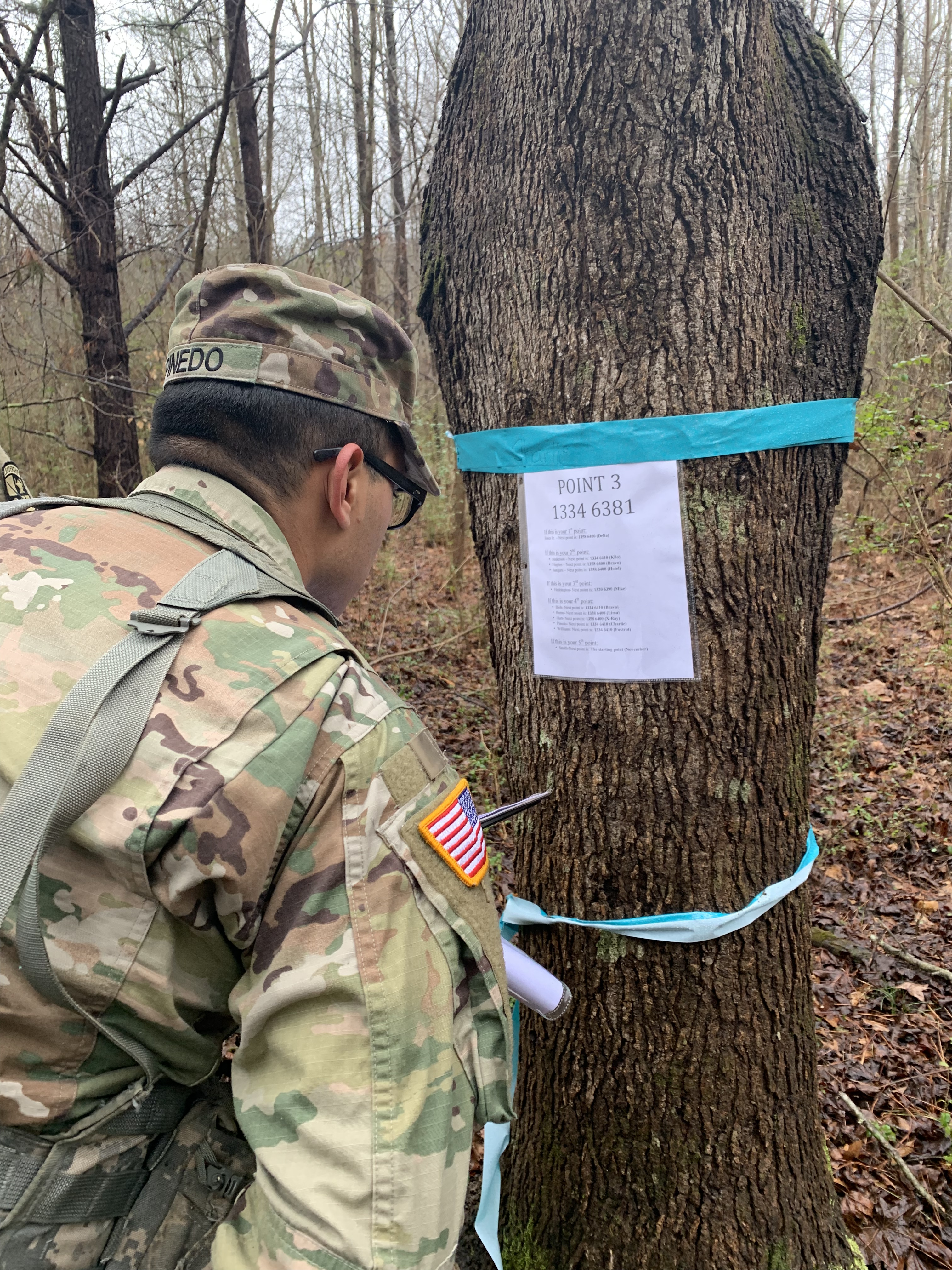
Cadet Ricky Pinedo reviews a point with his listed coordinates, Acworth, Ga. (Thursday, January 24, 2019). After the last point is located, students are able to return to their starting point and receive a passing grade for land navigation. (Photo/Gia Cruz)